LOCATION
Ontario, Canada
SIZE
37,028 ha
DEPOSIT TYPE(S)
Orogenic Au
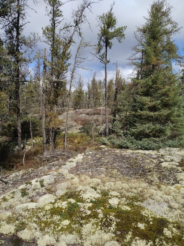
The Stormy Lake Project covers 37,028 hectares of ground in a northwestern Ontario, 45km southeast of the town of Dryden. Kenorland entered into two option agreements to acquire a 100% interest in the Stormy Project and the Goldstorm Project located within the Western Wabigoon geologic subprovince of Ontario, Canada, have been consolidated into the Stormy Lake Project (see press release dated January 18, 2024). The project benefits from excellent access via provincial highway 502 and a network of forestry roads, with rail and transmission lines nearby. Situated in the Manitou-Stormy Lakes Greenstone belt, containing numerous orogenic gold showings and deposits, the project area spans 40km of the Mosher Bay-Washeibemaga Deformation Zone, host to the Thundercloud deposit. The project area has seen limited historical exploration. Kenorland Minerals plans to conduct a LIDAR survey followed by systematic geochemical surveys during the 2024 field season.
Location and Access
The Stormy Lake Project is located is situated roughly 45km southeast of the town of Dryden, Ontario (population ∼7,400). The project is intersected by provincial highway 502 and contains an extensive network of forestry roads. Rail and transmission lines are within 15km of the Project’s northern boundary.
Geology and Mineralisation
The project is contained within the Manitou-Stormy Lakes Greenstone belt within the western Wabigoon Subprovince of the Superior province.
The Stormy Lake land package encompasses approximately 40km strike length of the Mosher Bay-Washeibemaga Deformation Zone (MBWdz), a major, crustal scale east-trending deformation zone within the Western Wabigoon Subprovince. The MBWDZ is marked by the syn-orogenic, Timiskaming-like polymictic conglomerate to coarse sedimentary and volcanic rocks of the Stormy Lake group, that juxtaposes older mafic volcanic rocks of the Boyer Lake group to the north and the Wapageisi group to the south.
The Manitou-Stormy Lakes Greenstone belt hosts numerous orogenic gold showings, deposits and historic past producers. The Thundercloud gold project is contained the MBWdz corridor where mineralisation is locally hosted within the polymictic conglomerates and underlying Wapageisi basalts. The project area also converges on the Manitou-Dinorwic (MDdz) deformation zone in the west which is host to numerous orogenic gold systems such as the Goldlund deposit and historically producing Big Master, Jubilee and Laurentian Mines.
Exploration History
Limited exploration has occurred in the project area, and no systematic geochemical surveys have been carried out.
Summary of exploration activities conducted by Kenorland Minerals
Since acquiring the Stormy Lake Project January 2024, Kenorland has completed the compilation and digitization of historical exploration data within the project area. Kenorland plans to carry-out a LIDAR survey and property-wide systematic regional till geochemical surveys during the 2024 field season.


